General project outline
Human activities are causing big changes to marine ecosystems worldwide. Ecosystems are directly affected by human activities like fishing, sand extraction and indirectly by sea level and temperature rises. The North Sea is home to a diverse range of habitats and species, but at the same time it’s one of the most used marine regions in the world. Some of these habitats and species are under threat from this intensive activity. DISCLOSE wants to provide more detailed information on the vulnerability of the various habitats and species in the North Sea. This can help to move towards the sustainable use of the North Sea. If we know more we can select suitable areas for conservation and determine effective management strategies.
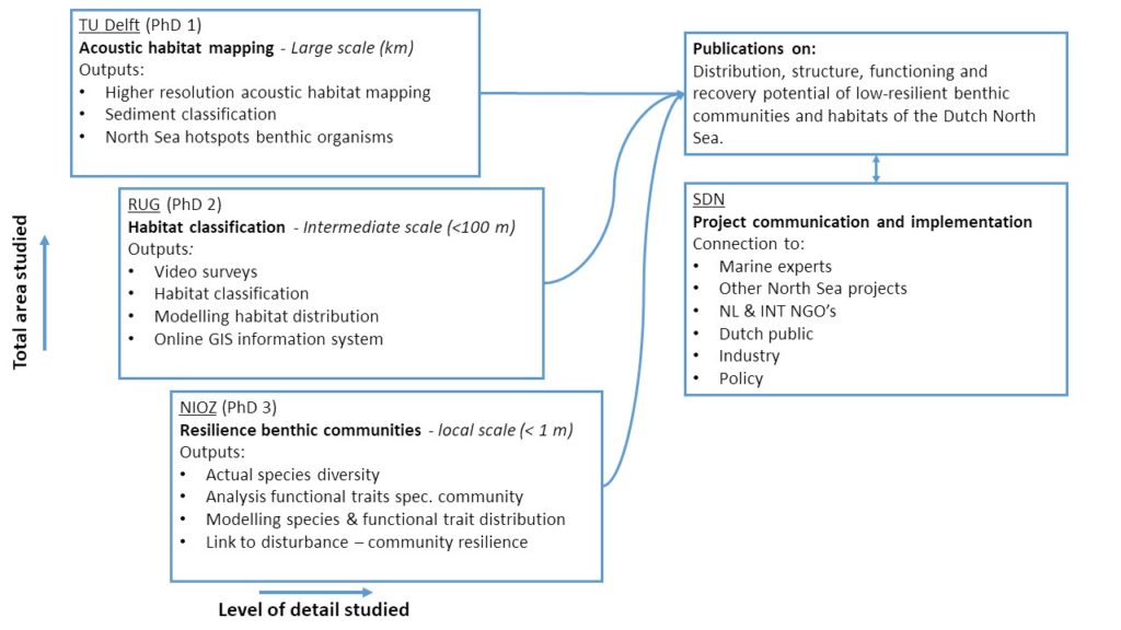
Marine seabed habitats and communities are complex to study due to their large surfaces and the obvious water coverage. DISCLOSE therefore takes a multi-disciplinary approach, combining acoustic remote sensing data (TUD) with video imaging data (UG) and standard seabed sampling techniques (NIOZ), allowing detailed examination of the seabed at a large scale. DISCLOSE will then create maps detailing where precisely the different habitats on the North Sea bottom are. These maps will also specify areas where there is a lot of potential for rich communities to grow. Finally, the project will examine How vulnerable habitats are to disturbances, by addressing the following questions:
- How are habitats defined by local physical and chemical conditions?
- To what extent are habitats shaped by man-made disturbances?
- How do natural and man-made disturbances jointly affect habitats?
- What conditions are necessary for specific habitats to grow into rich communities?
Acoustic habitat mapping using backscatter data
Leo Koop, TUD
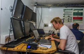
(Image credit: © Juan Cuetos/OCEANA)
Predicting habitat distribution using environmental conditions and verification with video techniques
Karin van der Reijden, UG
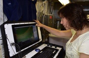
(Image credit: © Carlos Minguell/OCEANA)
Assessing stress resilience of seafloor communities using functional traits
Sarah O’Flynn, NIOZ
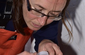
(Image credit: © Carlos Minguell/OCEANA)