Habitats tend to cover large areas, and each species within a habitat is of course inter-related with all the other species within the habitat. It is therefore important for comprehensive habitat studies to consider large and small scales. For large scale terrestrial habitat studies satellite photography is used. This can cover very large areas of the world instantaneously. As electromagnetic waves dissipate rapidly in water, a different approach must be taken to map the seabed. Sound can map what a photo camera cannot!
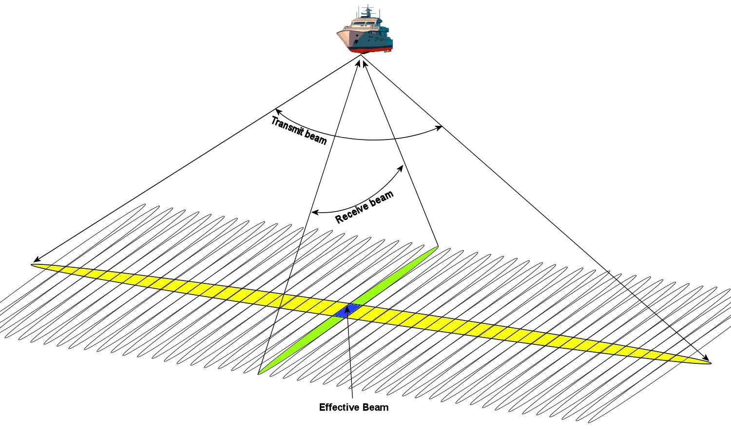
There are a few acoustic systems that are used to map the seabed. The multi-beam echo-sounder is one of them. Typically, the system is attached to the bottom of a ship. It uses advanced beam forming methods as it projects a pulse of sound in a narrow arc into the water column and receives the return echo in narrow arc perpendicular to the transmit arc.
Multi-beam echo-sounder Thereby, the system can localize echoes to a small patch of the seafloor. While cruising, the system can make a detailed map of the seabed in a wide swath along the ship’s sailing direction. The received sound also indicates how “reflective” (backscatter intensity) the seabed is. Gravel should, for example, have a higher backscatter intensity than mud. The sound reflected by the seabed can give an indication of the depth and seafloor type and in some cases habitats such as shellfish reefs are directly detectable.
This sub-project aims to provide the large scale component of habitat mapping at a high resolution. This will integrate with the other sub-projects in two ways. Firstly, the information at the larger scales will help in decision making related to what areas should be sampled on a finer scale, with either video or core sampling techniques (sub-project 2 and sub-project 3). Secondly, by linking the findings at the smaller more detailed scales (sub-projects 2 and sub-project 3) to the larger scale (sub-project 1), detailed findings will be extrapolated to higher coverage.
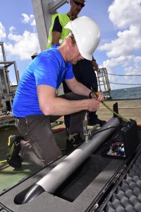
Preparing the side-scan sonar From an acoustic mapping perspective, this sub-project is innovative in that it will increase the geo-acoustic resolution as well as the spatial resolution of acoustic mapping capabilities. Geo acoustic resolution refers to the ability to distinguish small differences in the seabed with an acoustic method. Increasing these resolutions will be accomplished by utilizing the data from a single sonar system more fully, for example, by utilizing not just backscatter values, but also texture in the bathymetry.
Another way that the geo-acoustic resolution will be increased is by using data from multiple systems such as a multi-beam echo-sounder, side-scan sonar, and a sub-bottom profiler. Data from these systems have all been used in the past for seafloor classification, but it’s the first time they will be used in combination.