Wednesday 16th of August, the three PhDs of the DISCLOSE project have returned from the OCEANA-expedition at the North Sea. The expedition was successful: Sarah collected grabs for both benthos and sediment analysis at 13 different locations; Karin deployed her newly-developed towed video camera system for the very first time at the North Sea; and Leo gathered over 500 GB on acoustic data using both the Multi Beam Echo Sounder (MBES) and a Side Scan Sonar (SSS). These data were all collected in a multi-methodology approach, which ensures that the grabs were taken within the video transects, which were placed within the swath of the MBES and SSS. Now, back on shore, the data are processed, analyzed and used to profile the various benthic communities and habitats of the Dutch North Sea bottom.
During the expedition, the OCEANA-members kept a blog to share their work and findings with the rest of the world. All blogs can be found on the OCEANA website. Our DISCLOSE PhDs were asked, for one day, to write a blog as well. See the resulting blogs underneath.
Blog Leo Koop (Sunday August 31):

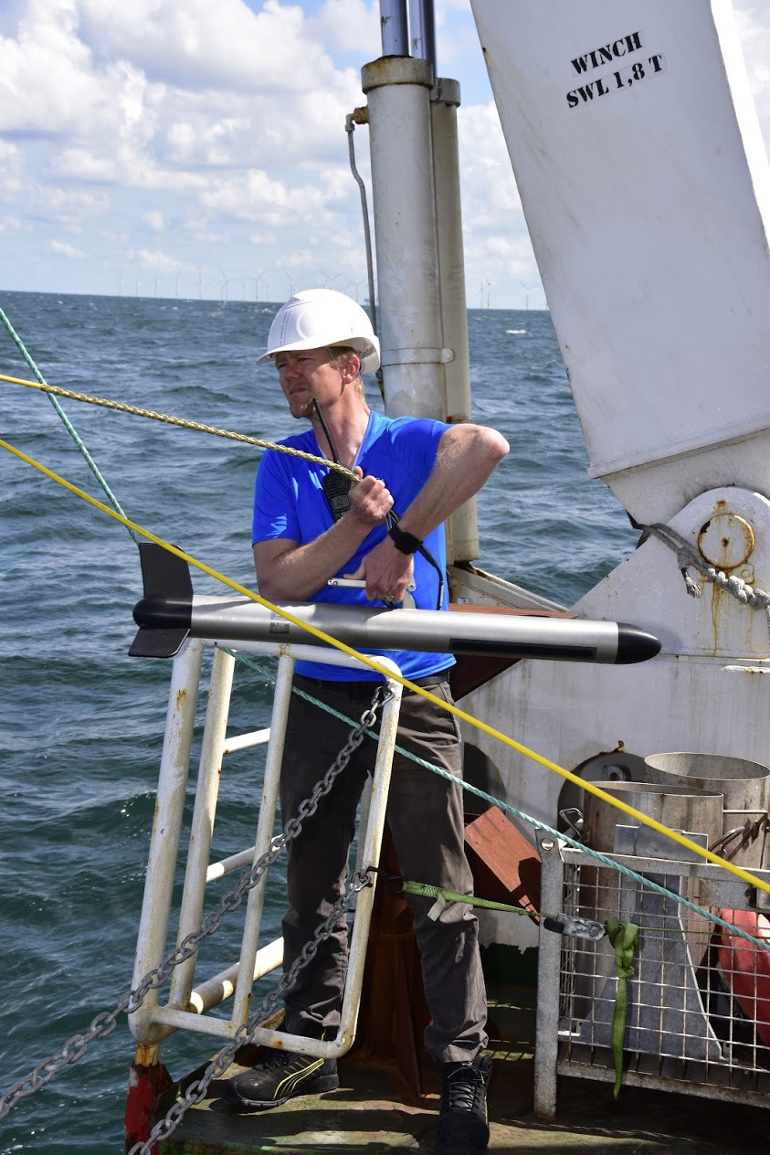
Launching the Side-ScanSonar – Photo: Oceana/Carlos Minguell
Acoustic mapping work is one of the few things that can be done at night during this cruise. Tonight is a travel night to a new research site north of the Bruine Bank. This means that, due to my nocturnal sleeping cycle and the fact that we are not collecting new data tonight, it will be a night of organizing the data acquired in the past week. A rapid processing is performed to determine its quality as well as taking notes that will make finding specific files faster in the coming months. The acoustic data that was collected on this trip, upwards of 500 GB, includes bathymetry (depth), backscatter, and Side ScanSonar information. Having all of this information will help to extrapolate our findings from ROV footage and grab samples to areas much larger than that of the ROV transect or grab sample location.
Blog Karin van der Reijden (Saturday August 12):

Launching the TowCam – Photo: Oceana/Carlos Minguell
Today was a day filled with underwater photo and videos. We started with the SPI (Sediment Profile Image) a device that penetrates the sea bottom and makes a picture of the cross-section. This way, you get an idea about the layering structure of the seabed. Two locations were visited in an area near the Doggerbank. The rest of the day was reserved for ROV. The first dive was at the same area as the SPI. Here we saw sand, shell fragments and many flatfish. The next ROV-location was quite different: a shipwreck! The hard substrate enabled for large colonies of dead mans finger (soft coral), and bryozoa, wich served as food for diverse nicely-colored nudibranchs. Also cod and ling found a hiding place. Very different from the next ROV-location, located in the Central Oyster Grounds. Here, the sea floor consisted of mud and hardly any animal was encountered.
Blog Sarah O’Flynn (Friday August 11):

Sarah washing sediments – Photo: Oceana/Carlos Minguell
I must say that I’m thoroughly enjoying our adventure on board the Neptune – it is a pleasure working with such a wonderful crew! As a researcher from the Netherlands Institute for Sea Research (NIOZ) I am interested in learning more about the distribution, structure and functioning of marine macrofauna within the Dutch sector of the North Sea. Together with the Oceana crew my collaborators Leo, Karin and I are combining acoustic, visual and seabed sampling techniques in order to improve our understanding of benthic habitats and communities existing in this section of the North Sea. The next step for me when I return to dry land, will be to take my samples to the lab to determine the species of macrofauna that we collected in our samples, as well as their biological traits ……… which will involve many hours behind the microscope!
